
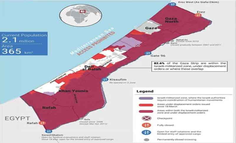
The latest map released by the Office for the Coordination of Humanitarian Affairs (OCHA) shows that 82.6% of the Gaza Strip is currently classified under one of the following categories:
- Israeli closed military zones,
- Areas under forced evacuation orders,
- Or areas subject to both,
reflecting an unprecedented level of restrictions on movement and humanitarian access.
According to the map:
Israeli military zones are marked in purple, areas placed under evacuation orders after 18 March are shown in red, while dark red indicates areas where both classifications apply.
The white areas are the only zones that have not been evacuated and are not currently witnessing active military operations.
These figures highlight the worsening humanitarian crisis:
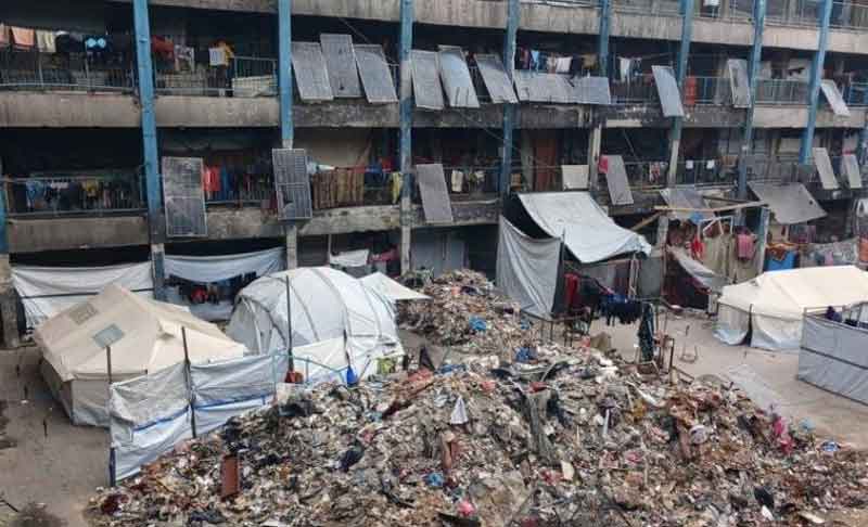
- Hundreds of thousands of displaced people are stranded between areas with no safety and no shelter.
- Hospitals are destroyed or out of service.
- Food and water insecurity continues to worsen day after day.
Gaza is calling for help—will anyone respond?